Natural disasters can affect large areas, disrupt transportation routes and create conditions that are difficult or hazardous to assess from the ground. Emergency response drones can give Canadian teams an aerial view of affected areas, helping them identify hazards, monitor changing conditions and gather critical information without immediately sending personnel into every location.
By reducing the need to immediately deploy responders into potentially hazardous environments, enterprise drone programs can help improve personnel safety while providing faster access to situational information
Their value extends beyond the active response. When aircraft, visual and thermal sensors, flight-management software and data-processing tools are integrated into a coordinated workflow, drones can support preparedness before an emergency, situational awareness while it unfolds and damage assessment during recovery. This article explores how Canadian emergency-response organizations can use DJI Enterprise solutions throughout the disaster lifecycle.
What Is an Emergency Response Drone Solution?
An emergency response drone solution is an enterprise Remotely Piloted Aircraft System, or RPAS, integrated with the supporting technology required for disaster-management operations. Depending on the mission, a complete solution may combine visual, zoom and thermal sensors with flight-management software, mapping and data-processing tools, field controllers and operational accessories.
Depending on operational requirements, enterprise RPAS may also support payloads such as loudspeakers, spotlights, laser rangefinders and advanced mapping sensors that help emergency teams gather specific information and support field operations.
A portable aircraft used for rapid assessment, for example, serves a different purpose than a mapping system configured to document a large, affected area or a dock-based solution positioned for remote deployment. The appropriate combination depends on the type of emergency, the information response teams require, the operating environment and how aerial data will be shared and used throughout the response.
Supporting the Complete Disaster-Response Lifecycle
Emergency management extends beyond the immediate response to an incident. Enterprise RPAS can provide useful aerial information throughout the disaster lifecycle, helping organizations prepare for potential events, understand conditions as they unfold and document the effects afterward.
Before an Emergency: Preparedness and Risk Assessment
Before a natural disaster occurs, RPAS can help emergency-management teams document terrain, infrastructure, access routes and other areas that may be vulnerable. Planned flights can capture consistent aerial imagery that serves as a baseline for understanding existing conditions and identifying changes over time.
RPAS equipped with LiDAR payloads can also collect data for maps and 3D models of flood-prone areas, unstable terrain or critical infrastructure. These digital resources can inform emergency planning, risk assessments and response exercises by giving teams a more detailed view of the environments in which they may need to operate.
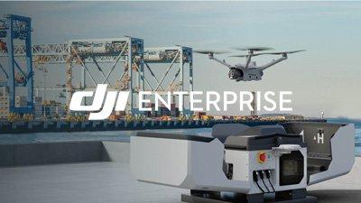
Organizations may also consider strategically positioning dock-based drone systems in critical locations to support routine monitoring, severe-weather preparedness and rapid aerial deployment following an incident.
Common preparedness applications include flood-risk monitoring, infrastructure inspections, wildfire-risk assessments and route planning for remote or difficult-to-access areas.
During an Emergency: Situational Awareness and Coordination
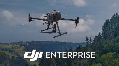
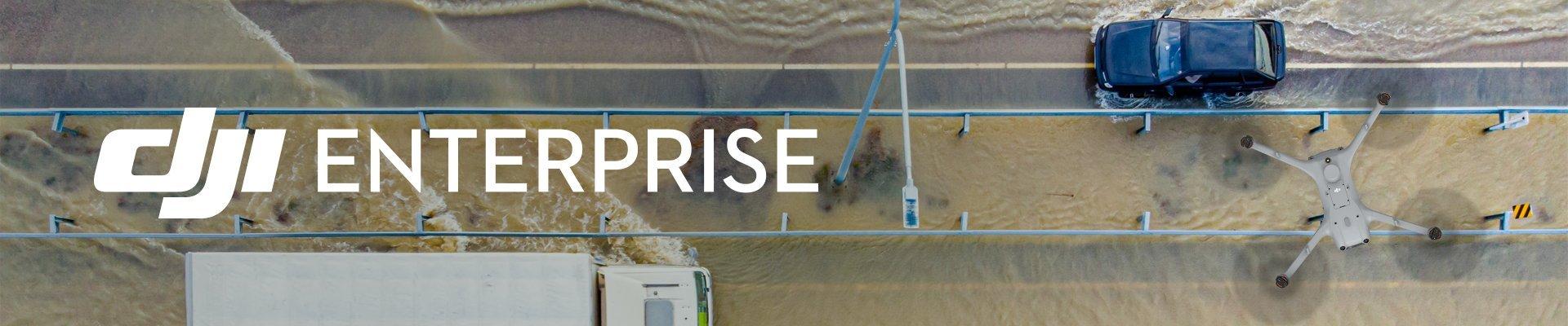
When an emergency is underway, conditions can change quickly and ground access may be restricted by damaged roads, unstable terrain, flooding or other hazards. Rapidly deployable RPAS can provide visual and thermal information from above, helping response teams assess affected areas while limiting the need for immediate ground access.
Live aerial imagery can help identify blocked access routes, damaged infrastructure, emerging hazards and areas that may require urgent attention. Visual, zoom, thermal and LiDAR sensors allow teams to examine conditions from a distance and gather information that may be difficult to obtain from the ground. This aerial perspective can also be shared with incident command and authorized response partners, providing a common operational view that supports coordination and resource allocation.
Typical emergency-response applications may include flood monitoring, search-and-rescue support, wildfire observation, storm-damage assessment, landslide monitoring and hazardous-material incident awareness.
Enterprise platforms equipped with visual, zoom and thermal sensors can provide responders with actionable information while maintaining safe stand-off distances from potential hazards.
After an Emergency: Damage Assessment and Recovery
Once the immediate danger has passed, RPAS can help organizations document the extent of the damage and plan recovery efforts. Aerial imagery can provide a broader record of affected buildings, roads, terrain and infrastructure while reducing the need for assessment teams to enter every damaged area immediately.
Planned flights equipped with LiDAR payloads can produce highly-detailed, measurable maps and 3D models that help teams compare post-event conditions with earlier records. These digital outputs can contribute to damage assessments, reporting, rehabilitation planning and communication among the agencies and organizations involved in recovery.
These datasets can also help support insurance documentation, infrastructure prioritization, recovery resource allocation and communication with stakeholders involved in rebuilding efforts.
Matching the Technology to the Emergency
Supporting each phase of the disaster lifecycle requires a configuration suited to the operational need. A portable RPAS intended for rapid field deployment, for example, will have different requirements than a mapping solution used to document a large disaster area or a dock-based system positioned for remote operations.
Visual and zoom cameras can provide detailed views of terrain, infrastructure and potential hazards from a distance. Thermal sensors can help teams observe heat signatures and conditions that may not be visible through standard imagery, while mapping-capable aircraft can capture consistent data for measurable maps and 3D models.
Different emergency scenarios may require different payload combinations, making it important to evaluate the information requirements of the mission before selecting aircraft and sensors.
Software connects this aerial information to the broader response. DJI FlightHub 2 can support mission management, live operations, collaboration and fleet oversight, while DJI Terra can process captured imagery into digital models for assessment and planning. DJI Dock solutions may also support pre-positioned aircraft for scheduled or on-demand deployment where the mission, location and operating model make remote operations appropriate.
The right configuration depends on what the organization needs to observe, document or communicate. Defining that outcome first helps ensure the technology is selected around the emergency-response objective.
Building an Emergency-Response Drone Program Around the Mission
An effective emergency-response RPAS program also depends on how aerial operations integrate with incident command, field personnel and the agencies or partners involved in a coordinated response.
Program planning should begin with the emergencies the organization expects to support and the information teams will require. Deployment procedures, operator responsibilities, access to live imagery and the storage and sharing of captured data should be established before an incident occurs. Organizations should also consider how operations will continue when power, connectivity or access to the affected area is disrupted.
Standard operating procedures, communications protocols and clearly defined data-management practices can help ensure aerial operations are aligned with broader incident-command structures.
Training, routine maintenance, battery readiness and practical response exercises are equally important. Testing the complete workflow allows teams to identify gaps and confirm that aircraft, software, communications and personnel can work together under emergency conditions.
Canadian organizations must also account for applicable regulatory requirements, pilot qualifications, privacy responsibilities and operational authorizations. Addressing these considerations early helps ensure the program is ready to support the organization when an emergency occurs.
Organizations operating in Canada should ensure that drone operations comply with applicable Transport Canada requirements and any additional procedures established by local authorities or public-safety agencies.
As operational approvals and regulations evolve, some organizations may also evaluate remotely deployed or extended-range drone operations where appropriate to support time-sensitive emergency missions.
From Preparedness to Recovery
Enterprise RPAS can support emergency-response organizations throughout the disaster lifecycle. By providing timely aerial information before, during and after an event, they can strengthen preparedness, improve situational awareness and create detailed records for damage assessment and recovery.
When aircraft, sensors, software and operational procedures are aligned with a clearly defined mission, organizations can build a resilient RPAS program that delivers useful information when conditions are difficult and decisions are time-sensitive.
Explore DJI Enterprise solutions available through SFM and discover how our enterprise RPAS specialists help qualified Canadian resellers develop application-focused solutions for emergency-response organizations.